
Cloverleaf ZIP Code Coverage
Official sources reviewed did not publish a definitive address-by-address crosswalk from the Cloverleaf CDP polygon to postal ZIP boundaries. The Cloverleaf ZIP code directory therefore separates a core service clue from nearby delivery areas. It does not claim that every address carrying one of these ZIP labels is inside Cloverleaf. Verify the exact address through USPS and then compare it with the HCAD parcel or GIS record.
| ZIP | Relationship to Cloverleaf | Post-office evidence | Address check |
|---|---|---|---|
| 77015 | Core Cloverleaf mailing-area clue. WCID 36 describes its service area as the Cloverleaf area within this ZIP. | USPS delivery lookup and the City of Houston 77015 map provide postal context. | A Houston mailing city can still be unincorporated Harris County. Check the parcel and city-limit layers. |
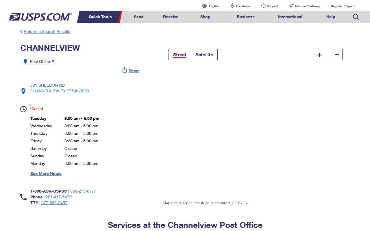
| 77530 | Channelview and adjacent eastern Harris County delivery area near the Cloverleaf edge. | USPS Channelview Post Office, 531 Sheldon Rd, Channelview, TX 77530-9998. | Edge reference only. No official CDP-to-address crosswalk was located. |
| 77013, 77049, and nearby labels | Shown near 77015 on the official Houston ZIP map, but not verified as definitive Cloverleaf service ZIPs. | USPS lookup is needed for each delivery address. | Do not assign a Cloverleaf label from proximity to a ZIP boundary. |
This ZIP coverage table is intentionally cautious. A postal boundary, a Census CDP boundary, a county precinct, a school district, and a municipal limit are separate geographic layers.
Cloverleaf Postal Geography
Cloverleaf is a census-designated place, not an incorporated city. It sits north of Interstate 10 between Channelview and Jacinto City in Harris County. That local status explains why there is no Cloverleaf city clerk or municipal archive to decide a parcel’s location. Current property records route through HCAD and the Harris County Clerk, while delivery formatting routes through USPS.
Postal geography and civic geography often use different names for the same address. A record may use Houston as its mailing city, a postal heading may point toward Channelview, and a census map may identify Cloverleaf. None of those labels alone prove municipal jurisdiction or establish a property boundary. The practical rule is simple: use the label that belongs to the record system being checked.
Cloverleaf 77015 Service Clue
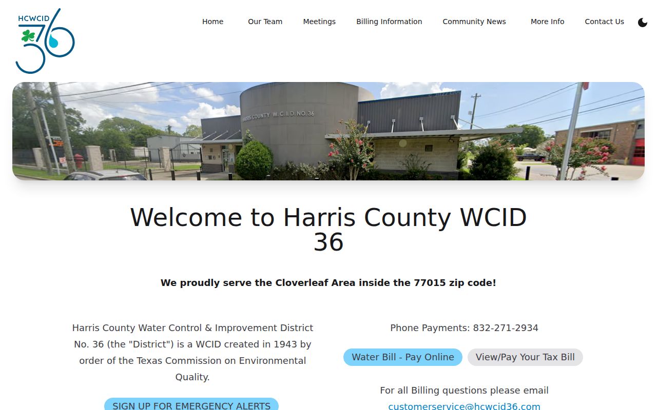
Water Control and Improvement District No. 36, known as WCID 36, provides the clearest official local-area clue for 77015. Its public information describes its service area as the Cloverleaf area within that ZIP. That makes 77015 a useful starting point for a Cloverleaf ZIP code directory search. It is still a service-area statement, not a customer list, property-title record, or legal crosswalk between every ZIP address and the CDP.
The official WCID 36 website supplies the local service-area context used for this Cloverleaf ZIP reference.
Use this evidence to prioritize a delivery check. Then confirm the exact address with USPS and HCAD. That order avoids turning a helpful area clue into an unsupported boundary claim.
Cloverleaf ZIP Code Workflow
A ZIP can narrow a search, but it is not the key field for the Clerk’s deed index or a complete resident list. Work from the address outward. First confirm the delivery format. Next locate the situs parcel. Then use the account number or legal description in the record system that holds the question you need answered.
- Use the USPS address lookup guidance to confirm the delivery-standardized address, ZIP, and post-office presentation for a single address.
- Search HCAD by address, account, or owner to identify the parcel’s situs address, account number, owner display, and legal description.
- Use the HCAD Parcel Viewer to locate the parcel and its jurisdictional context. Its boundaries are approximate and do not replace a survey.
- Search the County Clerk index by owner or legal description when the task concerns a recorded deed, plat, lien, or restriction rather than delivery service.
- After a ZIP narrows the area to a named street, use the Cloverleaf street directory for the address-keyed parcel and deed walkthrough.
A ZIP-wide inventory is not the normal HCAD workflow. The HCAD help materials describe account, owner, property address, street name, and number-range searches instead.
Cloverleaf ZIP Search Fields
The relevant systems accept different keys. USPS validates delivery formatting. HCAD uses parcel-centered fields. The Clerk records title instruments under parties and legal descriptions. Treating a ZIP as interchangeable with any of those keys causes missed results or overbroad assumptions.
| System | Verified search key | What it returns | ZIP limitation |
|---|---|---|---|
| USPS address lookup | Address | Standardized delivery address, ZIP, and post-office presentation | Does not confirm ownership, parcel status, or CDP inclusion. |
| HCAD Property Search | Account, owner name, property address, street name, or number range | Parcel, appraisal owner, situs and mailing fields, values, and legal description | ZIP is not the principal whole-ZIP browse filter in the inspected help. |
| HCAD Parcel Viewer | Address or parcel number | Parcel map, adjacent polygons, and linked details | Map context is approximate and not a ZIP boundary decision. |
| Clerk Real Property Search | Party, date, file or film code, subdivision, or legal description | Recorded instrument index and images subject to access rules | ZIP is not a title-search field. |
| Texas voter process | Individual lookup or controlled voter-data request | Registration status or lawfully released voter data | My Voter Portal is not a ZIP-wide directory. |
HCAD’s advanced property street name and beginning or ending street-number fields can turn a confirmed delivery address into a bounded parcel search. The owner mailing address shown in HCAD may be elsewhere, so it must not be substituted for the property’s ZIP or physical location.
Cloverleaf Postal Parcels
Use HCAD for parcels and USPS for delivery format. HCAD’s property details can show the physical situs address, owner mailing address, account number, subdivision, legal description, map link, values, exemptions, and characteristics. Its owner field is part of appraisal and tax administration, not the recorded deed itself. For a title question, use the legal description and party names in the Harris County Clerk index.
The parcel viewer accepts an address or parcel number and then lets a user inspect nearby map context. Its district overlays can identify county commissioner, justice, legislative, and school-district context for the same address. Those layers are useful for routing a records request, but they are not household or residency records. A ZIP code remains a delivery reference within this larger set of address labels.
Cloverleaf ZIP Code Mismatches
“Houston, TX 77015” does not necessarily mean that a parcel is within the City of Houston. Conversely, a Cloverleaf CDP label does not function as the USPS city line on every record. The City of Houston’s official 77015 map uses dashed black lines for city limits and solid red lines for ZIP boundaries. It is a useful planning reference, not a survey or a parcel-by-parcel legal decision.
The official USPS Channelview location page provides the nearby post-office reference for the 77530 edge area.
- ZIP code
- A USPS delivery geography used to route mail. It is not a city limit, parcel boundary, or ownership record.
- ZIP+4
- An added four-digit delivery segment that refines mail routing within a five-digit ZIP. It does not change the parcel’s jurisdiction.
- PO-box ZIP
- A ZIP assigned for post-office boxes. It describes a mail-receipt location, not a physical residence or property location.
- Unique ZIP
- A ZIP assigned to one organization or high-volume receiver. No such Cloverleaf-specific ZIP was identified in the reviewed sources.
- Carrier route
- A postal delivery grouping used by USPS. It is not a resident roster or an official CDP boundary.
Cloverleaf ZIP Code Voter Limits
ZIP codes do not create a voter directory. Texas My Voter Portal is intended for an individual registration lookup, and a full voter file is a controlled state or county process. The live portal was blocked during the research session, so no exact field or result layout should be asserted without checking the live form. The state’s public-information request and affidavit route is the documented fallback for voter-data requests.
Voter data can involve county, precinct, and district information that helps place a record in Harris County. It is still subject to use restrictions and protected-address treatment. A residence field may be replaced, and a non-match can reflect a move, name variation, status change, confidentiality protection, or data gap. It is not proof of absence from a Cloverleaf ZIP area.
Cloverleaf Postal Scale
Census QuickFacts counts 24,100 people in the Cloverleaf CDP in the 2020 Census, compared with 22,942 in 2010. That figure gives scale to the address-verification problem, but it is not a resident directory and should not be used to assign people to a ZIP. The 2020 to 2024 language measure reports 72.5 percent of residents speaking a language other than English at home, which is a practical reason to preserve the spelling, accents, initials, and address form shown in each source.
For a common surname, narrow a result with the parcel’s legal description, a dated directory page, precinct, spouse notation, or an obituary date before drawing a conclusion. The city line, ZIP, and census boundary may each supply context, but only the dated source says what it actually recorded.
Cloverleaf ZIP Code History
Cloverleaf began as a railway station and development associated with the Beaumont, Sour Lake and Western Railway. The 1936 county highway map showed the development without a settled municipal name, and a short-lived post office may have existed around 1950. The Texas State Historical Association reports that Cloverleaf had no post office in the modern period. Those details help explain why an older address may use a different community or postal heading.
Historic directories can classify the broader area under Houston, Channelview, Pelly, Baytown, Goose Creek, or a post-office name. Save the original address wording alongside a modern search version. That preserves an auditable trail across postal and CDP labels without pretending that a historical heading proves current jurisdiction.