
Cloverleaf Neighbors by the Block
Looking up Cloverleaf neighbors starts with the parcel around one address, not with a presumed household list. HCAD and its Parcel Viewer can establish the subject parcel, its adjacent parcels, and the public address or ownership clues connected to each one. The County Clerk then supplies recorded transfer and legal-description evidence. Older street directories may identify dated occupants. These are separate forms of evidence, and none is a complete list of everyone who lives on a block.
| Source | What It Shows About a Block | Access |
|---|---|---|
| HCAD Parcel Viewer | Parcel adjacency, account IDs, map context, and address-to-parcel links | Public interactive map; approximate, not a survey. |
| HCAD details and same-street browse | Appraisal owner, situs versus mailing field, legal description, and nearby accounts | Public HCAD search and street-range queries. |
| County Clerk real-property index | Transfers, liens, restrictions, plats, and legal-description continuity | Online index/images from 1960/1961; older books or microfilm. |
| HPL criss-cross directories | Historical street-by-street occupants, businesses, and telephone context | Library or digitized collection; year, page, and OCR limits. |
| Voter record path | Lawfully released identity, status, and precinct information for an individual record | Individual lookup or controlled request; not a complete block roster. |
| WCID 36 | Public district service-area, board, and notice context | Public district site; customer names are not a directory. |
An appraisal owner is not necessarily an occupant. A parcel may be vacant, held by an entity, or have a mailing address outside Cloverleaf. A historical directory can list a roomer, spouse, or business contact rather than the owner. Use the result to understand a property record and verify it against its date. Do not use a nearby parcel as proof that every person connected to that address is a current neighbor.
Cloverleaf Neighbor Parcel Viewer
The HCAD Parcel Viewer v2.1 accepts an address or parcel number through its Find address or place control. A user can select a returned parcel, click a polygon on the map, pan and zoom, switch a basemap, and display parcel layers. HCAD advises that the map is approximate and not a survey. When a polygon is missing, go back to the HCAD address or account search and use the legal description to verify the parcel.
Start by recording the public parcel key, situs address, legal description, and map scale. Then identify only the parcels that share a boundary, sit at the relevant corner, or lie directly across the street. This keeps a Cloverleaf neighbor search tied to the actual block rather than to a broad name result. HCAD’s public quarter-facet maps can add parcel-ID context, but they also do not decide municipal or CDP boundaries.
The Harris County government portal is a useful starting point when the address raises a county-office jurisdiction question instead of a parcel-search question.
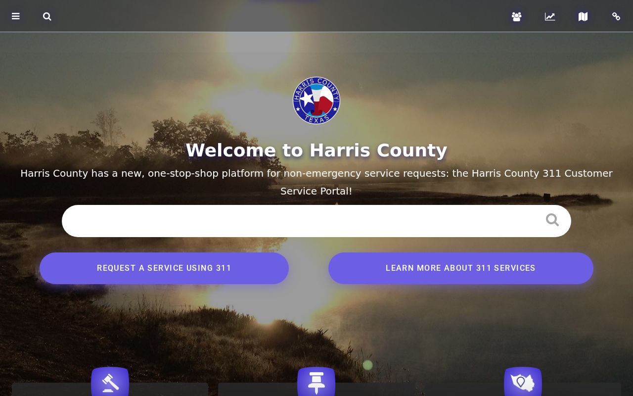
County routing matters because Cloverleaf is unincorporated. A Houston mailing label does not by itself assign the address to a Houston office or municipal record system.
Cloverleaf Neighbors Same-Street Browse
HCAD offers a second block route after a parcel detail is open. Its Values on Same Street control can expand nearby account and appraisal-value context. The advanced property search accepts a street name with beginning and ending street numbers, which helps bound a segment. Street names can have alternate stored forms, and an unknown or vacant property may use a zero address, so test number-and-name combinations before treating a missing result as final.
This browse produces parcels and appraisal accounts, not a verified list of Cloverleaf neighbors. It can include vacant land, several parcels for one owner, or a tax mailing address that belongs elsewhere. Homestead information is an appraisal clue, not a certificate of who is present at an address.
Note: Preserve the search date because parcel geometry, account records, and district layers can change over time.
Map a Cloverleaf Neighbor Block
Use the parcel map as a short, repeatable process. A block map helps with physical adjacency. It does not identify a household, reveal private accounts, or settle a title question without the accompanying record.
- Search the subject address or parcel number in the HCAD Parcel Viewer and save its account or parcel ID, legal description, and map scale.
- Zoom until boundaries and street names are legible. Click contiguous, corner, and across-street parcels, then save their public account IDs.
- Open each HCAD detail separately. Compare situs, mailing field, owner display, legal description, and exemption or value details without assuming common ownership means one household.
- Use the Clerk index for a parcel’s recorded chain and a dated directory street page for older occupants. Keep voter research to the official individual or controlled-request route.
For a longer named-street chain, the Cloverleaf street directory follows address ranges, legal descriptions, deeds, and historical street pages beyond the immediate block.
Cloverleaf Neighbor Deed Continuity
The Harris County Clerk real-property search converts an HCAD parcel into a recorded-property trail. Use the subdivision, lot, block, abstract, tract, or other legal-description elements from HCAD to narrow an address that may not be indexed as a street. Search a current owner as grantee to find a purchase instrument, identify the seller as grantor, and then search that seller’s earlier acquisition. Do not assume every deed under a matching name belongs to the block.
Restrictions and amendments can be searched by subdivision after 1961 using the Clerk index. Older restrictions may require microfilm. Plats can explain lot boundaries and street layout when an address changes or is missing. The online real-property index begins in January 1961 and images begin November 1, 1960. For prior periods, County Clerk books, the Todd Street historical location, Harris County Archives, TSLAC reels, and selected FamilySearch images form the documented fallback.
Cloverleaf Neighbor Community Records
Research found no authoritative Cloverleaf-wide homeowners association member directory, block-watch roster, civic-council roster, congregation list, or umbrella neighborhood directory. That gap matters. Do not fill it with listings from social media or real-estate pages. Public organizations can provide service-area or contact context, while member information remains private unless an organization chooses to publish it.
WCID 36
Water Control and Improvement District No. 36 identifies the Cloverleaf area within 77015 and offers public district contacts and notices. It is not a customer roster.
Recorded Subdivision Papers
The County Clerk’s restrictions, amendments, and plats can identify an association or trustee named in a recorded instrument. Request the document rather than assuming it has a public member list.
County Records Route
For an unincorporated parcel, county offices are the primary routing point. Verify the address jurisdiction before seeking a permit or code record through a city office.
Congregations, schools, fraternal groups, and private watches may retain names, but they are not public sources unless the organization publishes a directory. Ask the organization through its official contact channel rather than trying to assemble a private list.
Cloverleaf Neighbors in Old Directories
For former Cloverleaf neighbors, historical criss-cross directories are the address-to-occupant layer. Houston Public Library holds Houston directories from the nineteenth century through 1986, with digitized 1866–1924 volumes and partial 1925–1959 HeritageQuest coverage. The 1940–41 Tri-Cities and La Porte directory at the Portal to Texas History contains both alphabetical and street sections for the broader eastern Harris County corridor. A street page can list numbered properties, people, businesses, spouse notation, occupation, and h or r residence marks.
A Cloverleaf-area address may have been filed under Houston, Channelview, Baytown, Goose Creek, Pelly, or a nearby post-office heading. OCR can misread symbols and initials. Inspect the scan, record the page and year, and treat a printed address as evidence for that directory date, not as proof of a current neighbor.
Cloverleaf Neighbor Records Before 1961
Records story. Harris County’s electronic real-property index begins in January 1961. That creates a practical break in a historical neighbor trail: a present-day address may be easy to map while an older transfer needs books, microfilm, an archive appointment, or a state-archives reel. The break reflects custody and digitization history, not a missing neighborhood.
Harris County Archives reports bound volumes, microfilm, maps, and county-office collections, and its research route is appointment based. The TSLAC Harris County guide includes deed, probate, court, naturalization, map, and survey series. Ask for the creating office, record series, date range, and finding aid when an online name search is silent.
Cloverleaf Neighbor Voter Boundaries
Texas My Voter Portal is a one-person registration lookup, not a street-wide neighbor list. The live form was blocked during the research inspection, so its exact current field labels should not be assumed. Texas voter records can include name, date of birth, VUID, status, county, precinct, district, and participation where lawfully released. How a person voted is not public. A full voter file is a controlled SOS request with an affidavit or use statement and delivery process.
Election Code protections shield Social Security, driver-license, state-ID, and eligible protected-address information. Address Confidentiality Program participants are not registered through the ordinary county system, and some protected records can display a substitute marker. A missing record can reflect privacy protection, a changed address, inactive status, or a name variation. It is not evidence that a person never lived near the block.
Cloverleaf Neighbor Lookup Limits
Parcel, title, and dated directory records leave important gaps. Renters, household members, utility customers, delivery recipients, DMV information, sealed court material, and protected voter addresses are not a general public neighbor search. Texas Address Confidentiality Program participants use a substitute address, not a public locator. HCAD’s mailing address can be outside the property area, and the Parcel Viewer’s boundaries are approximate rather than a survey.
Commercial neighbor tools compile public and inferred address data. They can be stale, duplicate people with the same name, and blur an owner record into a household claim. Official parcel, Clerk, library, and district sources make the scope and date of their record clearer. Verify a concern through the appropriate custodian, and use public records only for legitimate personal research.
| Record route | What it identifies | Key limit |
|---|---|---|
| Official parcel and Clerk records | Defined parcel, recorded party, legal description, and dated instrument trail | They do not create a complete current-household list. |
| Library street directories | Printed occupants and businesses for a stated year and page | Geography, OCR, and publication coverage can create gaps. |
| Commercial neighbor category | Compiled and inferred address associations | May be stale, duplicate names, omit protected people, or lack official certification. |
Lawful use. Cloverleaf neighbor records are for lawful personal research and local context. Texas Penal Code §§42.07 and 42.072 address harassment and stalking; do not use any record to monitor, threaten, or intimidate another person.